What is a Levee Improvement District (LID) and what does it do?
LIDs are conservation and reclamations districts and political subdivisions of the State of Texas created by Counties to provide flood protection to the residents and commercial property owners within the geographic boundaries of each LID.
What facilities does FBCLID 7 operate and maintain?
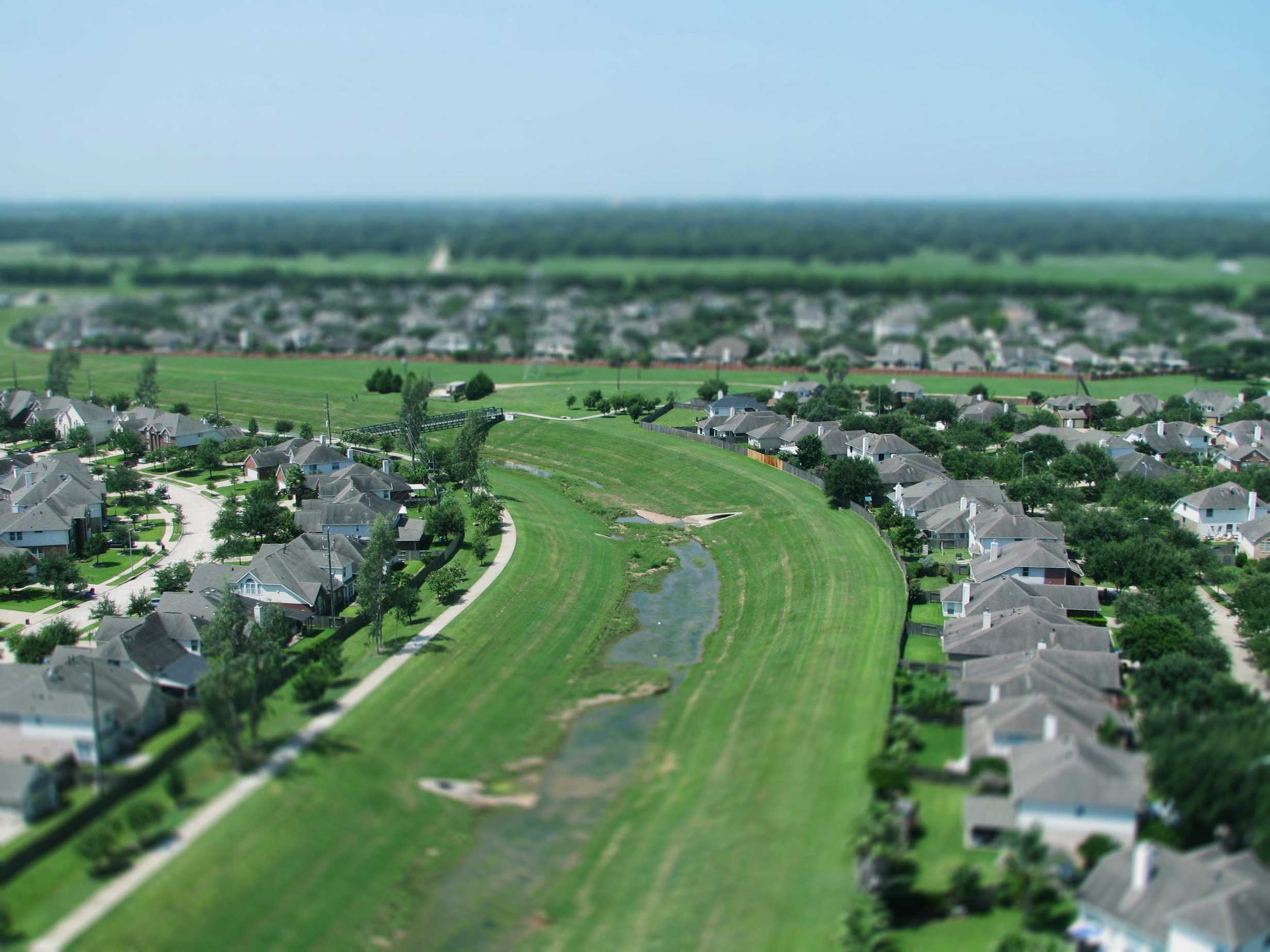
FBCLID 7, which encompasses New Territory, operates and maintains approximately 3.75 miles of levees and other drainage facilities that include:
- Ellis Creek, an internal drainage channel that collects and conveys storm water run‐off;
- Outfall structures where internal storm water drainage is discharged outside of the levee and into the Brazos River via an external drainage channel that is also operated and maintained by FBCLID 7;
- Two pump stations (electric facility that pumps the interior rainfall outside the levee and into the external drainage channel during a combined river/rainfall flood event);
- Flap gates (gates preventing river water from entering New Territory);
- Five detention/retention ponds (artificial lakes that include a permanent pool of water and space to detain excess water); and
- One detention basin (used solely to detain excess water).
FBCLID 7 also has the power (pursuant to a separate statute) to construct, maintain and operate a reclaimed water system, which is currently under construction, for purposes of providing a non‐potable water source to the New Territory Residential Community Association, Inc. (the New Territory HOA) for irrigation of the common areas and make‐up water to the lakes within New Territory.
Who sets the standards for operations of levees?
The Federal Emergency Management Agency ( FEMA ) and the U.S. Army Corps of Engineers (USACE) set standards for the construction, maintenance and operations of levees. Additionally, Fort Bend County has imposed additional regulations for design and operation of LID facilities.
Levee systems must meet certain requirements to receive recognition by FEMA under the National Flood Insurance Program (NFIP) that it provides protection from the 100 ‐ year flood on the Flood Insurance Rate Maps (FIRM’s).
How are LIDs funded?
LIDs are funded by ad valorem property taxes. Property taxes pay for bonds that are used to finance the design and construction of levee systems and other drainage facilities. Property taxes also pay for the on ‐ going operations of the LID and maintenance of the facilities.
Do levees cause floods?
Levees are designed to reduce flood risk from flooding events; however, they do not eliminate the risk entirely . It is always possible that a flood will exceed the capacity of a levee or drainage system, no matter how well the system is built.
Why was there a Mandatory Evacuation of FBCLID 7 / New Territory during Hurricane Harvey?
The Fort Bend County Judge along with the Fort Bend Office of Emergency Management, not the LIDs, orders evacuations. New Territory received an extraordinary amount of rainfall during Harvey. The sections in FBCLID 7 with the lowest elevation were the most adversely affected by record ‐ breaking rainwater accumulation.
Currently, the Board is evaluating all information gathered during Harvey, listening to the concerns and comments of residents, and is considering all possibilities to determine the most cost effective methods to protect our area from future flood events.
Why does water keep rising even when it stops raining?
Rain that falls in the areas north of FBCLID 7, within the Brazos River watershed, flows downstream. This continues to push river levels higher even after a local rain event has ended.
How does rising water from the Brazos River impact Fort Bend County roadways?
County roadways first begin to be impacted by Brazos River floodwaters at approximately gage 52. Major access routes begin to be impacted at gage 54.
Why do some neighborhoods flood while others do not?
There are many reasons why some neighborhoods experience more flooding than others, including elevation and proximity to waterways. New Territory experienced unprecedented rainfall during Hurricane Harvey causing streets and waterways to flood beyond their designed capacities.
The Board is diligently pursuing the source of flooding during Harvey and has directed its engineers to model possible causes and solutions.
